Yates Engineering Services (YES) provides qualified and certified CAD/GIS professionals that can assist you with all your GIS and mapping requirements. Our professionals are qualified in various CAD/GIS software such as ESRI, CADTEL, 3GIS and AUTOCAD Map3D.
YES utilizes a program that can automatically plan and design an overview, analyze, and even provide reports quickly. The overview is created using the clients existing plant records from their database. The reports provide material lists and cost estimates to help plan your budget. The overview plan can be designed quickly to help design your fiber optic network, which allows YES to be more productive and provide extra cost saving benefits for our client.
Once an overview plan is approved, the information can be provided to the engineer for staking. Upon completion of the staking, we would utilize the same plan to design our detailed drawings provided by the engineers.
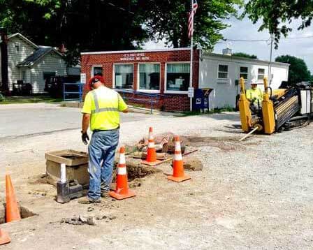
Featured Project:
Design, Engineering & Mapping
Location: Central Indiana
Service: FTTH (Fiber to the Home)